The outstanding activity of the offshore and coastal industries in the Middle East and the growing need for accurate surveys and hydrography require active and reliable technical and logistical support. The knowledge and proficiency of MSA has been taken by using specialized and experienced personnel in the oil and gas fields, offshore, near shore and the coastal projects.
Geophysics and Hydrography
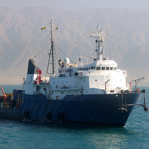
The company provides geophysical and hydrographic services in all offshore and near shore areas.
Due to the geographical features of Iran and the Middle East as well as the activities of various industries, collecting topographic information, maps and seabed conditions in the projects of offshore construction, hydrography and port structures are all essential.
| – Bathymetry and sediments measurement | – Sub-Bottom Profiling |
| – Current and wave profiling (ADCP) | – Water Salinity measurement using CTD |
| – Three-dimensional scanning of the seabed by Multi-beam echo sounder | – Sound velocity profiling using SVP |
|
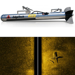
– Two-dimensional scanning of the seabed by side scan sonar to find the debris, wrecked objects and pipelines |
|
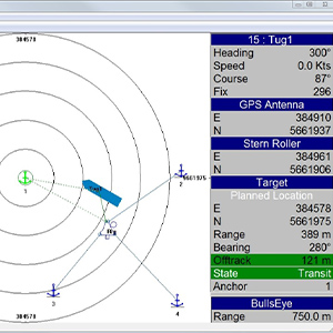
| – Positioning and monitoring system | – Underwater positioning using USBL and LBL systems |
| – Anchor handling operation | – Metrology of underwater structures |
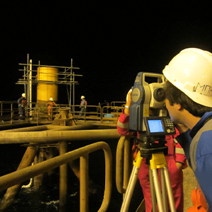
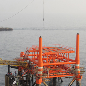
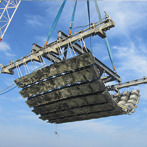
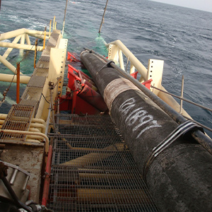
| – Jacket installation and Rig moving | – Supporting the subsea pipe laying and cable laying projects |
| – Coastal and river survey | – Dam and reservoir survey |
| – Dredge Control & Monitoring Systems |
SVP
The sound velocity is measured at different depths of water using this device. The proper function of sonar systems that use sonar transmissions to collect data depends on using the correct sound speed in the waters of the operation site.
Current and wave profiling
Measuring surface and subsurface waves using the Acoustic Doppler effect
Under water positioning system (USBL)
Subsea positioning is done by a USBL system. It works based on ultra-short base line definition. Local measurements are proportionally converted into the location of the fixed and moving subsea structures using precise computation. The accuracy of this positioning is about decimeter.
Unmanned Surface Vessel (USV )
Tide Gauge
Tidal measurement and determining its average value in specific time intervals to apply the necessary modifications to the data received from other sensors whose output changes with the tides, is done by the tide gauge.
Manual and digital tide gauges with internal memory can be named as the variety of these devices. Long and short range radios are used to send data and support this device.
Magnetometer
A magnetometer is a scientific instrument used to measure magnetic field strength. Under the sea, marine geophysicists, ocean engineers and nautical archeologists use marine magnetometers to detect variations in the total magnetic field of the underlying seafloor.
Towing fish of the system collects the required information and sends it to the main unit located on the survey vessel.
Multi-beam Echo sounder
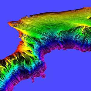
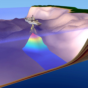
Multi-dimensional topography of the seabed is performed by Multi-Beam echo sounder in order to determine the conditions of the seabed to identify the obstacles or even the wrecked objects and debris in the way of subsea mapping and construction projects. Firstly, the data must be collected. It will then be reviewed and prepared by the processing unit.
ROV
GPS and DGPS
Positioning of the equipment, structures and vessels at the project site is done using GPS via various models and different accuracies which can be used as single, double or multi frequencies.
Sub-Bottom Profiler
This device is used to determine the material and depth of the layers under the seabed. Secondary data processing and high sensitivity to environmental noise levels are the features of this system.
Side Scan Sonar system
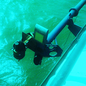
Two-dimensional scanning of the seabed is performed by this device. There are various models and forms of SSS, which are categorized according to their resolution and scanning accuracy. Winch and A-frames are used to launch and recover the towfish. On the river, the towfish can be fixed on the vessel hull.
CTD
Single, double and multi frequency echo sounders
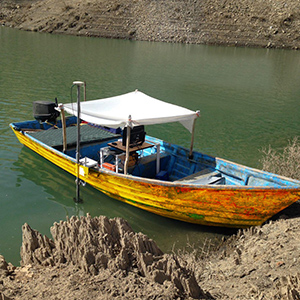
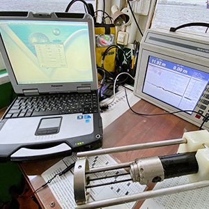
Bathymetry and depth finding are carried out in river waters, dams, lakes and seas by the echo sounders. The number of frequencies and depth finding accuracy are determined by the client based on the project definition. Echo sounders by different accuracies are provided in fixed and portable units with various dimensions.
Motion Reference Units (MRU)
These sensors are used to measure 3 dimensional movements of the vessel as Pitch, Roll and Heave. By applying these changes to the received data of marine and hydrographic sensors, the deviation measurements resulting in different directions can be compensated. These sensors can measure the movement in one or more dimensions.
Radio Telemetry
In offshore operations, telemetry radios are always used to transmit sensor data and videos. These radios function at standard operating frequencies band and multi-channel data transmission. These radios are utilized for offshore construction projects, hydrography, diving, dredging and ROV operations.
Gyro compass
A Gyro compass is a form of gyroscope, used widely on ships to find the true north. Gyro compass has become one indispensable instrument in vessels for its ability to detect the direction. Heading data is used to navigate the construction barges and vessels during the offshore projects and hydrographic surveys.


